
Atiku
The Northern and Arctic Studies Portal
Ressources
61 to 6 on 71 11 of 12
The Danish Arctic Institute digital collections
Four distinct digitized collections available in open access grouped together on the same research platform. There are around 175,000 photographs (fotografier), around fifty old maps (kort), more than 2,000 artefacts (kunst og genstande) as well as 445 audio recordings (lyd). The site is partially translated into English.
- Collection
- Maps, Atlases, and Geospatial Data
- - Maps and Atlases
- - - Old Maps
- Archives and Primary Sources
Warning: Undefined variable $term_single2 in /home/rpw8kepmwm2r/public_html/atiku.versionalpha.ca/wp-content/themes/atiku/taxonomy-collection.php on line 363
Warning: Attempt to read property "term_id" on null in /home/rpw8kepmwm2r/public_html/atiku.versionalpha.ca/wp-content/themes/atiku/taxonomy-collection.php on line 363
- Kind
- Free - Open Access
- Access
- Open Access
- Domain
- Humanities and Social Sciences

The North Data
A selection of geospatial data from Natural Resources Canada on geology, ice, snow, the seabed, etc.
- Collection
- Maps, Atlases, and Geospatial Data
- - Geospatial Data
Warning: Undefined variable $term_single2 in /home/rpw8kepmwm2r/public_html/atiku.versionalpha.ca/wp-content/themes/atiku/taxonomy-collection.php on line 363
Warning: Attempt to read property "term_id" on null in /home/rpw8kepmwm2r/public_html/atiku.versionalpha.ca/wp-content/themes/atiku/taxonomy-collection.php on line 363
- Kind
- Free - Open Access
- Access
- Open Access
- Domain
- Natural Sciences

The North Data (Gouvernement du Canada)
A selection of geospatial data from Natural Resources Canada on geology, ice, snow, the seabed, etc.
- Collection
- Maps, Atlases, and Geospatial Data
- - Geospatial Data
- - - Northern Canada
Warning: Undefined variable $term_single2 in /home/rpw8kepmwm2r/public_html/atiku.versionalpha.ca/wp-content/themes/atiku/taxonomy-collection.php on line 363
Warning: Attempt to read property "term_id" on null in /home/rpw8kepmwm2r/public_html/atiku.versionalpha.ca/wp-content/themes/atiku/taxonomy-collection.php on line 363
- Kind
- Free - Open Access
- Access
- Open Access
- Domain
- Humanities and Social Sciences
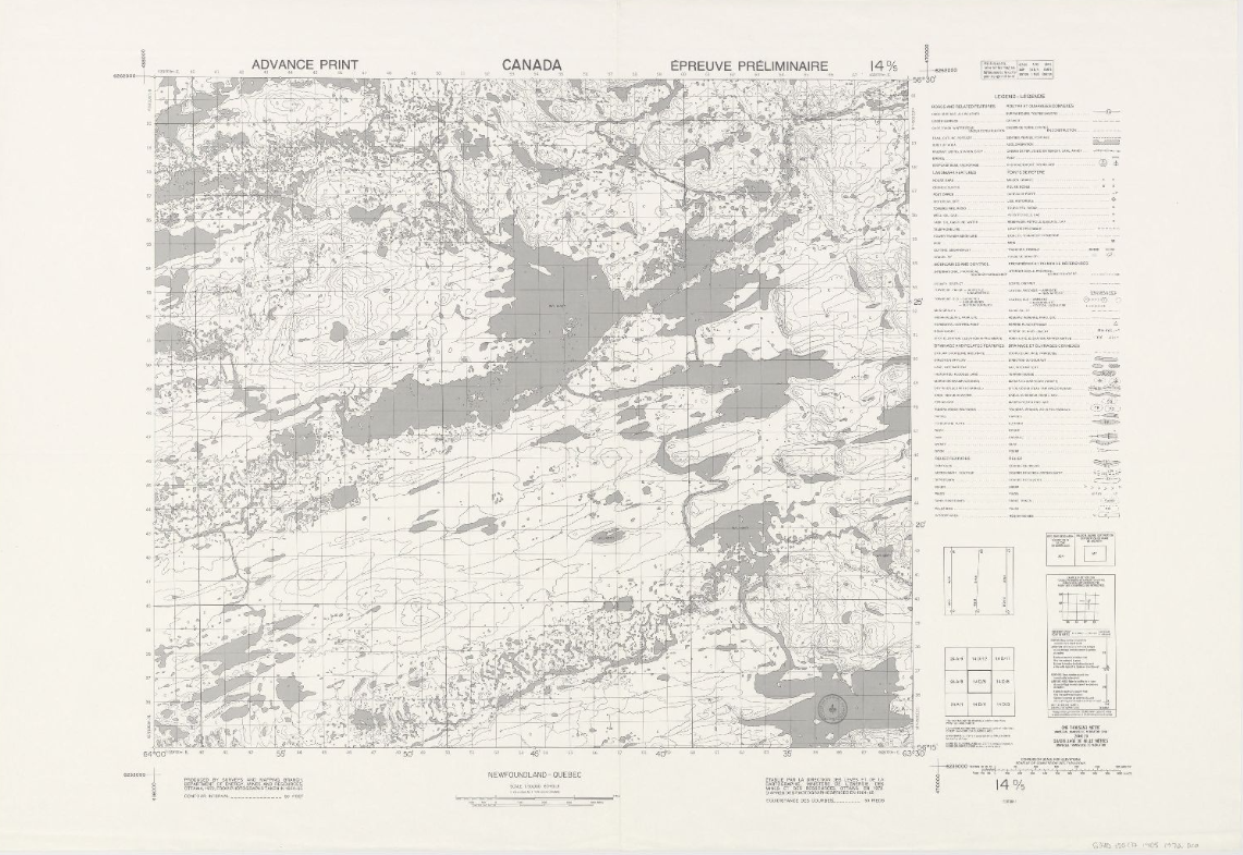
Topographic maps (NTS 13: Côte-Nord)
Corpus of topographic maps of the North Shore of Quebec at a scale of 1: 50,000. The first level NTS number representing the geographic area concerned is 13.
- Collection
- Maps, Atlases, and Geospatial Data
- - Maps and Atlases
Warning: Undefined variable $term_single2 in /home/rpw8kepmwm2r/public_html/atiku.versionalpha.ca/wp-content/themes/atiku/taxonomy-collection.php on line 363
Warning: Attempt to read property "term_id" on null in /home/rpw8kepmwm2r/public_html/atiku.versionalpha.ca/wp-content/themes/atiku/taxonomy-collection.php on line 363
- Kind
- Free - Open Access
- Access
- Open Access
- Domain
- Natural Sciences
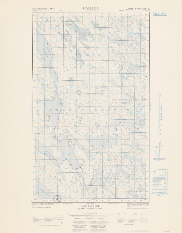
Topographic maps (NTS 14: Nord-du-Québec)
Corpus of topographic maps of Nord-du-Québec at a scale of 1: 50,000. The first-level NTS number representing the geographic area concerned is 14.
- Collection
- Maps, Atlases, and Geospatial Data
- - Maps and Atlases
- - - Northern Quebec
Warning: Undefined variable $term_single2 in /home/rpw8kepmwm2r/public_html/atiku.versionalpha.ca/wp-content/themes/atiku/taxonomy-collection.php on line 363
Warning: Attempt to read property "term_id" on null in /home/rpw8kepmwm2r/public_html/atiku.versionalpha.ca/wp-content/themes/atiku/taxonomy-collection.php on line 363
- Kind
- Free - Open Access
- Access
- Open Access
- Domain
- Natural Sciences
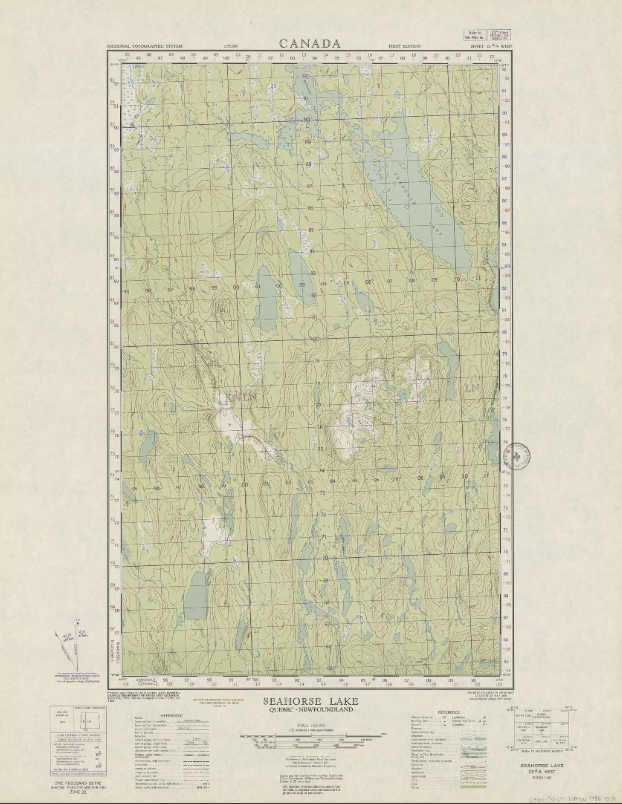
Topographic maps (NTS 23: Côte-Nord)
Corpus of topographic maps of Nord-du-Québec at a scale of 1: 50,000. The NTS number representing the geographic area concerned is 23.
- Collection
- Maps, Atlases, and Geospatial Data
- - Maps and Atlases
- - - Northern Quebec
Warning: Undefined variable $term_single2 in /home/rpw8kepmwm2r/public_html/atiku.versionalpha.ca/wp-content/themes/atiku/taxonomy-collection.php on line 363
Warning: Attempt to read property "term_id" on null in /home/rpw8kepmwm2r/public_html/atiku.versionalpha.ca/wp-content/themes/atiku/taxonomy-collection.php on line 363
Warning: Undefined variable $term_single2 in /home/rpw8kepmwm2r/public_html/atiku.versionalpha.ca/wp-content/themes/atiku/taxonomy-collection.php on line 363
Warning: Attempt to read property "term_id" on null in /home/rpw8kepmwm2r/public_html/atiku.versionalpha.ca/wp-content/themes/atiku/taxonomy-collection.php on line 363
Warning: Undefined variable $term_single2 in /home/rpw8kepmwm2r/public_html/atiku.versionalpha.ca/wp-content/themes/atiku/taxonomy-collection.php on line 363
Warning: Attempt to read property "term_id" on null in /home/rpw8kepmwm2r/public_html/atiku.versionalpha.ca/wp-content/themes/atiku/taxonomy-collection.php on line 363
- Kind
- Free - Open Access
- Access
- Open Access
- Domain
- Natural Sciences