Atiku
The Northern and Arctic Studies Portal
Search results
1 to 6 on 16 1 of 3
Arctic Center / Arctic region : Basic information about the Arctic (Arctic Centre. University of Lapland)
General information on various aspects of the Arctic, including Indigenous peoples, climate change, international cooperation, flora and fauna, mapping, etc.
(Arctic Centre. University of Lapland. 2020. «Basic information about the Arctic». URL [https://www.arcticcentre.org/EN/arcticregion])
Subjects: Arctic fauna, Arctic flora, Cartography, Circumpolar Arctic, Climate change, Indigenous peoples
- Category.s
- Kind
- Free - Open Access
- Access
- Open Access
- Domain
- Humanities and Social Sciences
- Natural Sciences

Arctic Research Mapping Application
A Web application that allows users to view the locations of Arctic research projects funded by the United States.
Subjects: Cartography, Maps, United States, Research
- Kind
- Free - Open Access
- Access
- Open Access
- Domain
- Health Sciences
- Humanities and Social Sciences
- Natural Sciences
Arctic Tools (Gouvernement fédéral des États-Unis)
Page with links to resources, including interactive mapping applications and datasets, to help understand, analyze, and assess the vulnerabilities and resilience of Arctic systems to climate variability and climate change.
Subjects: Climate change, Climate variability, Geospatial data, Cartography, Circumpolar North
- Kind
- Free - Open Access
- Access
- Open Access
- Domain
- Natural Sciences
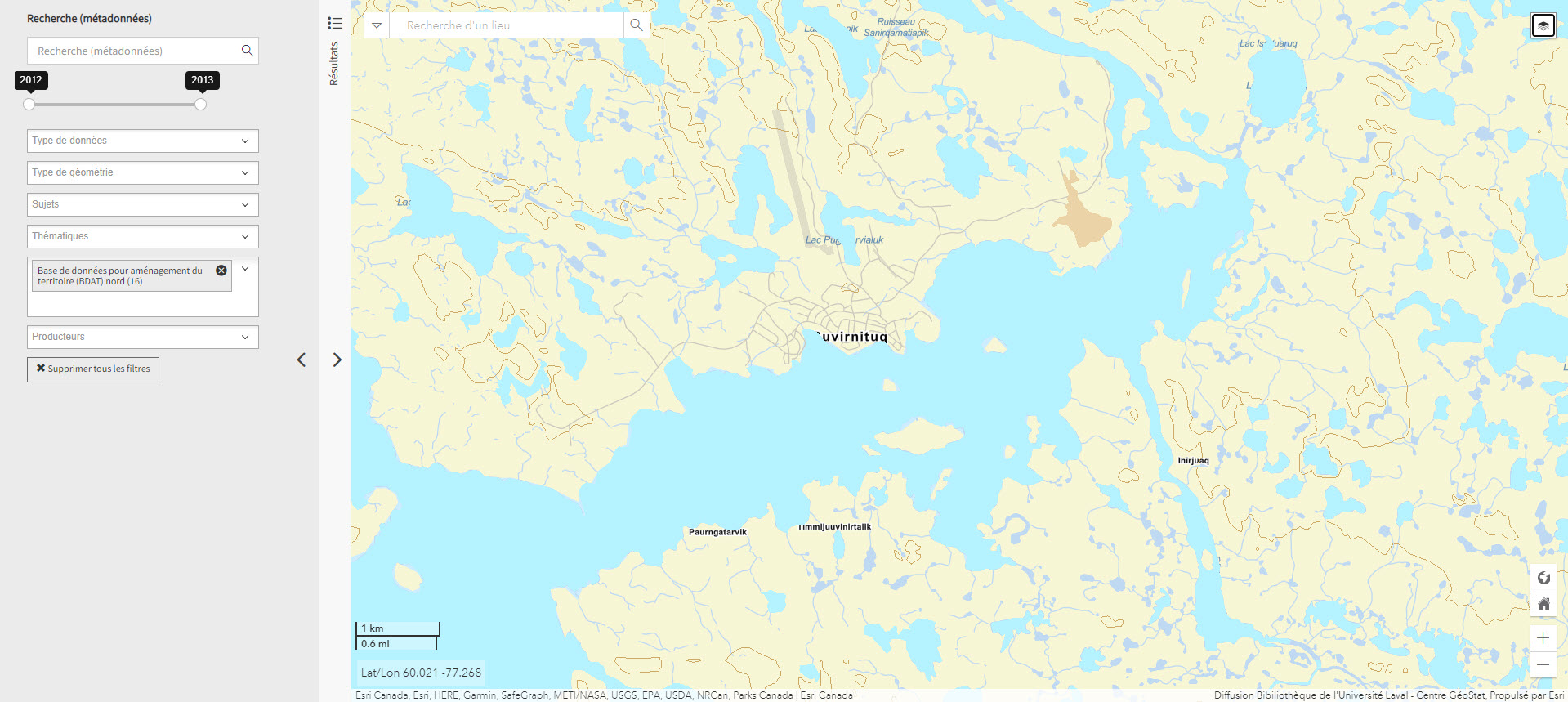
Base de données pour aménagement du territoire (BDAT) nord (Géoindex)
Collection of 22 layers of geospatial data providing an overview of northern land occupancy.
Subjects: Land use planning, Quebec, Cartography, Geospatial data, Land occupancy
- Kind
- Reserved Access
- Access
- Reserved Access
- Domain
- Humanities and Social Sciences
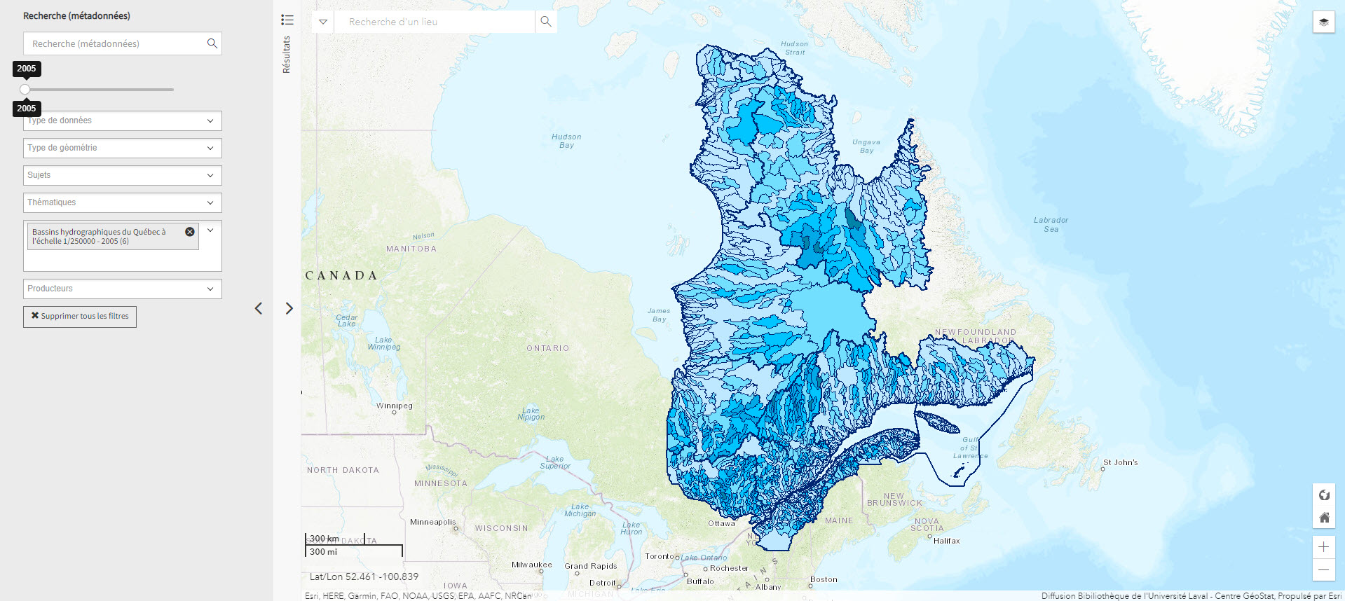
Bassins hydrographiques du Québec à l’échelle 1/250000 (Géoindex)
A collection of 7 layers of geospatial data showing Quebec’s watersheds.
Subjects: Cartography, Geospatial data, Watershed area, Watersheds, Quebec
- Kind
- Reserved Access
- Access
- Reserved Access
- Domain
- Natural Sciences
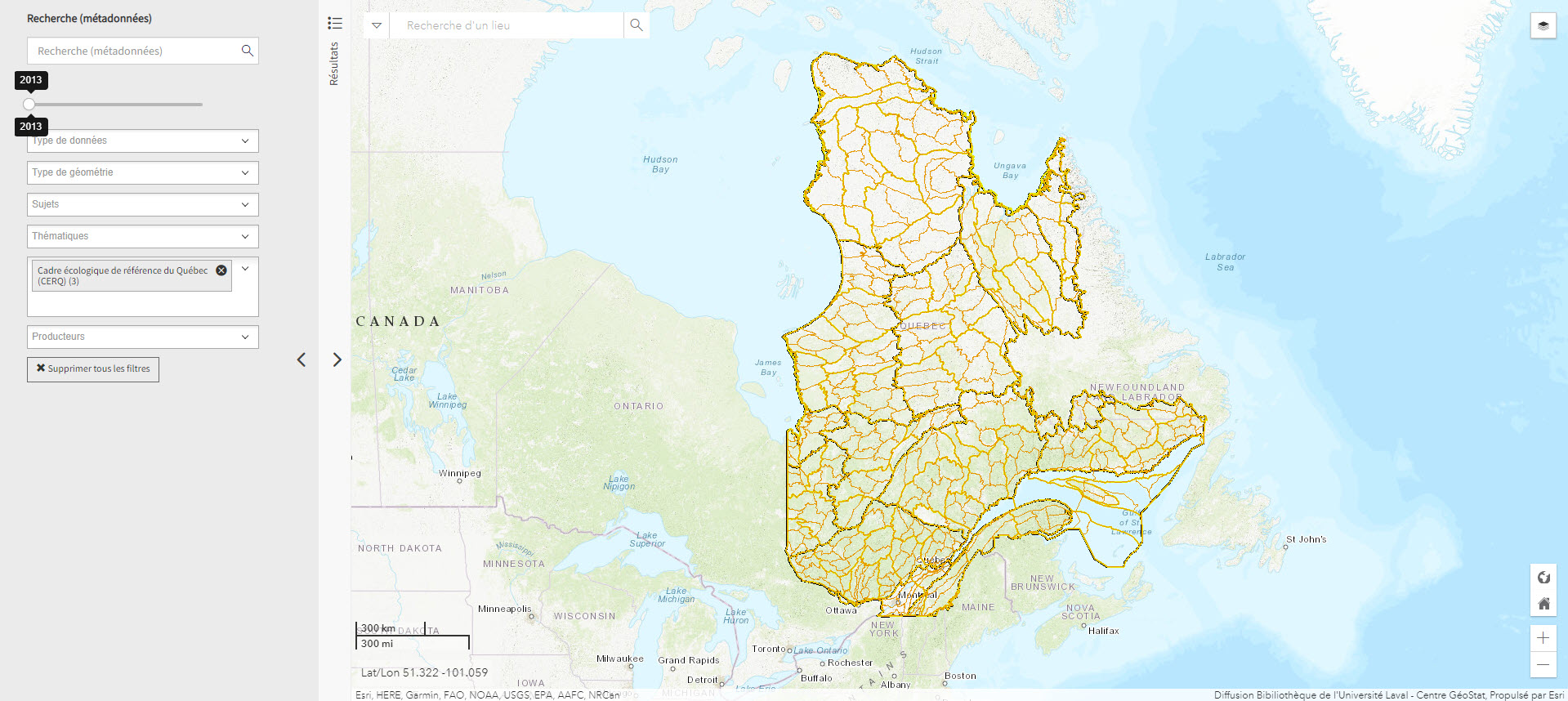
Cadre écologique de référence du Québec (CERQ) (Géoindex)
A collection of 4 layers of geospatial data showing ecological classification of the land and allowing users to assess its potential and constraints, and the fragility of its ecosystems.
Subjects: Cartography, Ecological classification, Geospatial data, Quebec
- Kind
- Reserved Access
- Access
- Reserved Access
- Domain
- Natural Sciences